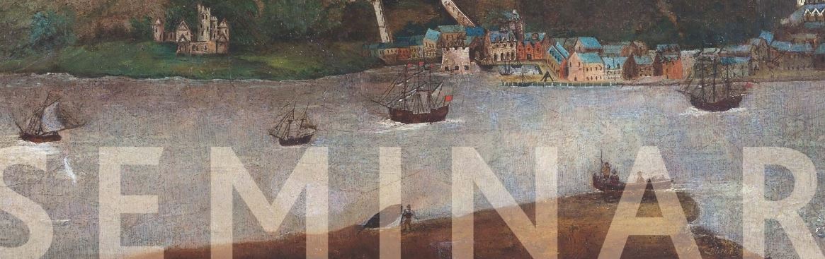
The Irish Historic Towns Atlas (IHTA) annual seminar, is convened for a second year with the Irish Walled Towns Network(opens in a new tab), an initiative of the Heritage Council, on the theme of urban settlements and their relationship with water. The focus is on Ireland, Britain and central Europe and will compare the influence of rivers on urban landscapes, the role of water in communication, trade networks and leisure pastimes through the perspective of the IHTAs with examples of walled towns.
*In-person places are fully booked, but there is an option to book 'recording only' or join a waiting list
PROGRAMME
9:15 Registration
9:30 Welcome and introduction
9:45 HISTORIC TOWNS ATLASES
Mapping urban rivers: perspectives from the Irish Historic Towns Atlas Sarah Gearty (Royal Irish Academy)
Along the Danube in twenty towns Katalin Szende (Central European University, Vienna and Budapest)
11:00 Coffee break
11:30 WALLED TOWNS
Anglo-Norman Galway: a topographical exploration Paul Walsh
The medieval urban network of Britain and Ireland Julian Munby (Independent/Historic Towns Trust)
13:00 Lunch
14:00 DIGITAL REPOSITORY OF IRELAND
Introduction to the Irish Historic Towns Atlas collection Rachel Murphy (Royal Irish Academy)
14:15 TRADE AND TRANSPORT
Thames, trade and topography: London's commercial waterfront, 13th to 17th centuries Vanessa Harding (Birkbeck, University of London/Historic Towns Trust)
Connectivity at a price: bridges in an urban setting Rob Goodbody (Independent)
15:30 Coffee break
16:00 HEALTH AND LEISURE
The 'ideal holiday ground'? Water and tourism in Ballyshannon and Youghal Angela Byrne (Royal Irish Academy)
Historical geographies of swimming in Irish towns Ronan Foley (Maynooth University)
17:15 Close
General Info